Burnet County Wildlife Exemption Guide
Burnet County sits in the Llano Uplift and Edwards Plateau margin, decomposed granite and sandy loam over the Llano Uplift, with Highland Lakes shoreline and post oak savanna. This guide covers what a 1-d-1 wildlife management valuation requires here, which of the seven qualifying activities suit the country, and the equipment that satisfies them.
Minimum acreage in Burnet County
This is the single most misunderstood rule in Texas wildlife valuation, so it is worth stating precisely: there is no minimum acreage for a tract that has not changed size since the previous tax year. If your boundary has not moved, acreage is not what stands between you and a wildlife valuation.
The minimum applies only when a tract has been reduced in size - most often by subdivision or a sale that split the parcel. Across Texas those minimums generally run between 12 and 50 acres, rising from east to west.
Burnet Central Appraisal District sets its own minimum within the state framework. Rather than repeat a figure that may have changed, confirm the current standard directly through the county's entry in the Texas Comptroller directory linked below.
Lakeside subdivision around Marble Falls and Lake Buchanan means many Burnet tracts have changed size recently, which is exactly when the county minimum applies.
Qualification is determined by the Burnet Central Appraisal District, and intensity standards vary by ecoregion and property size. Nothing here is tax or legal advice. Confirm your activity mix with a certified wildlife biologist before filing.
Target species in Burnet County
Any indigenous Texas wildlife species can support a management plan. The species a plan is built around should be the ones the property can genuinely support, because the activities follow from that choice. In Burnet County the usual candidates are:
- White-tailed deer
- Rio Grande turkey
- Bobwhite quail
- Eastern bluebird
Which activities work best here
Sandy granite soils support better native grass response than the limestone counties, so habitat control through grazing deferment and native seeding tends to document well here.
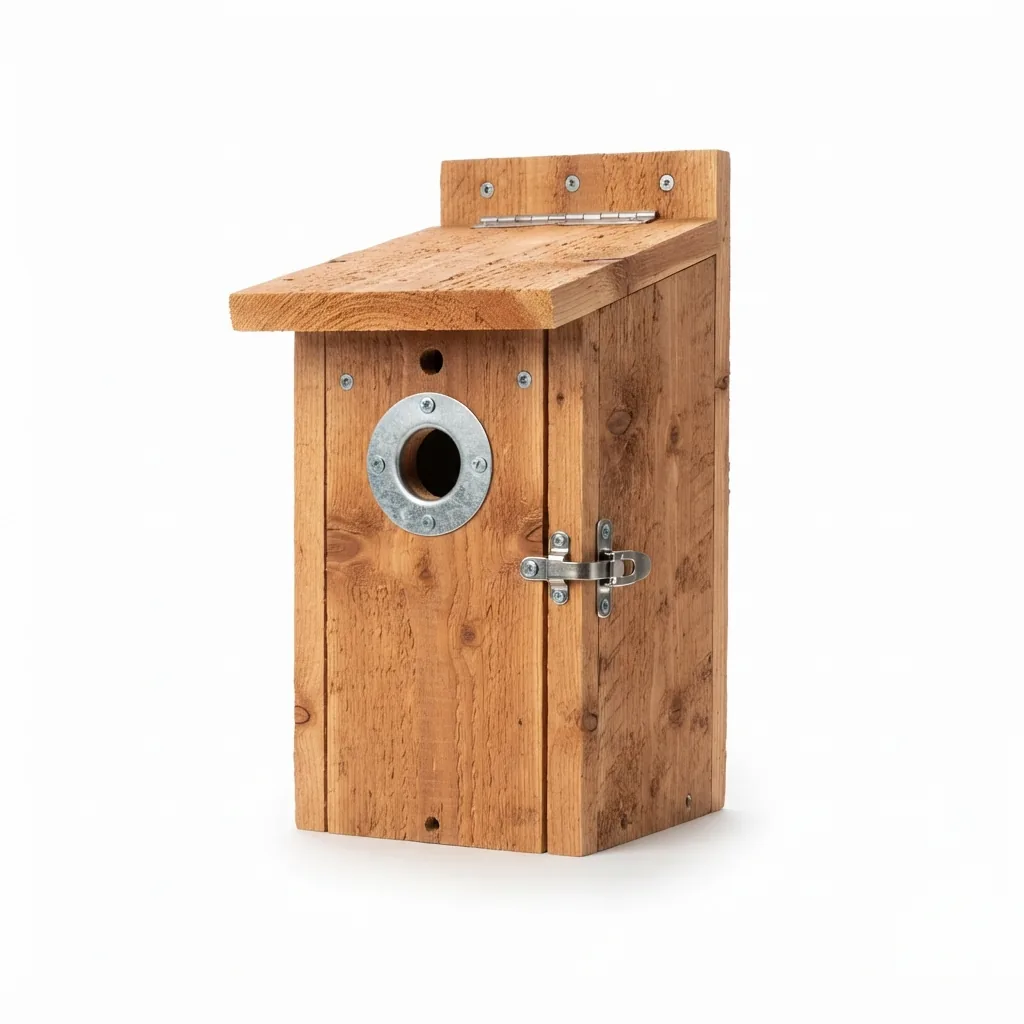
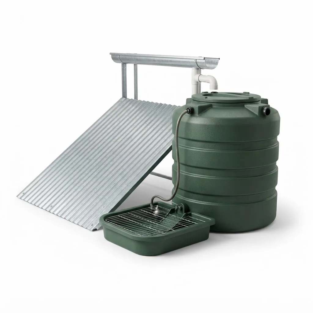
You must perform at least three of the seven: habitat control, erosion control, predator control, supplemental water, supplemental food, providing shelters, and making census counts. The combination most Burnet County landowners land on is shelter, water and census counts, because the equipment is inexpensive, an inspector can see it on the ground, and monitoring the boxes produces the census data at the same time.
Filing and annual obligations
Your property must already hold an agricultural or timber valuation before converting to wildlife management. First-time applications run 1 January to 30 April, filed on Form 50-129 with a wildlife management plan on PWD 885-W7000, including a property map showing boundaries, habitat types and the location of every practice.
After approval, the obligation is annual: perform your three activities, and keep dated evidence. Receipts, GPS coordinates, timestamped photographs and count sheets are what carry a file through review. A folder of undated photos is not.
Official contact details for the Burnet Central Appraisal District are published in the Texas Comptroller's directory: Burnet County appraisal district listing.
Working out what your tract needs
Our wildlife exemption calculator sizes the activities and equipment to your acreage and gives a rough annual saving. For the plan document and the appraisal district filing itself, our sister company Plateau Land & Wildlife Management has filed thousands of Texas wildlife management plans since 1997. We supply and install the equipment those plans call for.
Equipment delivered anywhere in Burnet County
Every item in our catalog is mapped to the qualifying activity it satisfies, with statewide delivery and field installation. Request a quote and we will size a package to your acreage.