Erosion Control
Erosion control is the least used of the seven activities and, on steep Hill Country ground, one of the most defensible. On Bandera, Real or Kerr canyon tracts the work is visibly necessary, the results are photographable, and the benefit to water quality and habitat is straightforward to argue.
What counts
- Gully shaping and headcut stabilisation.
- Contour terracing and water spreading to slow runoff.
- Riparian buffer restoration along creeks and drainages.
- Establishing native vegetation on bare or scalped ground.
- Road and trail drainage work that stops channelised runoff.
- Stream crossing stabilisation.
Degree of intensity
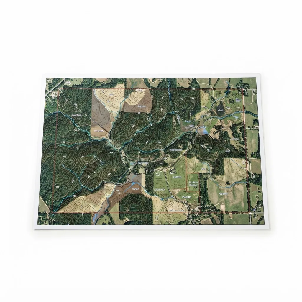
Defined by the linear feet or acreage treated. Districts respond well to a specific, mapped scope of work rather than a general intention to reduce erosion.
Texas requires at least three of the seven qualifying activities. Use the exemption calculator to size this one to your acreage.
Qualification is determined by your county Central Appraisal District, and intensity standards vary by ecoregion and property size. Nothing here is tax or legal advice. Confirm your activity mix with a certified wildlife biologist before filing.
Common mistakes
- Describing routine ranch road maintenance as erosion control without tying it to a habitat or water quality purpose.
- Working without before-and-after photographs from fixed photo points, which is the entire evidence base for this activity.
- Using non-native vegetation for stabilisation.
- Failing to map treated reaches on the property map.
Records that survive a review
Fixed photo points shot before, immediately after and one year on. Record linear feet or acres treated, dates, and contractor invoices, and mark treated reaches on the property map.
Equipment for this activity
Need the plan as well as the gear?
We supply and install the equipment. Written wildlife management plans, appraisal district filings and audit defense are handled by our sister company Plateau Land & Wildlife Management. See also our county-by-county guides.