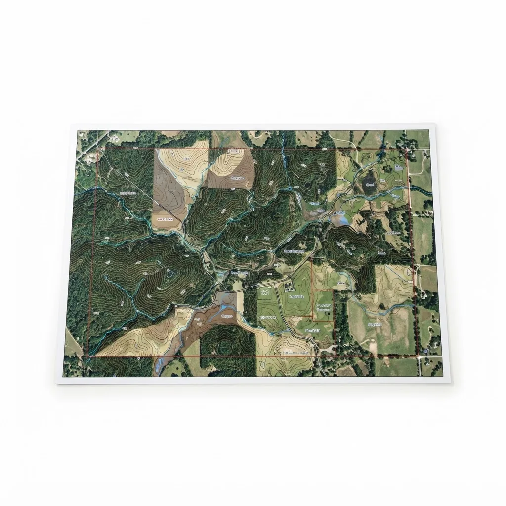
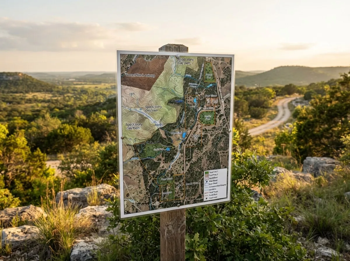
Aerial GIS Topographical & Habitat Map
$350
Survey-grade 24" × 36" laminated property map with contour lines, soil regions, water assets, and feeder plots.
- Dimensions24" × 36" Arch D (Laminated & Digital Georeferenced PDF)
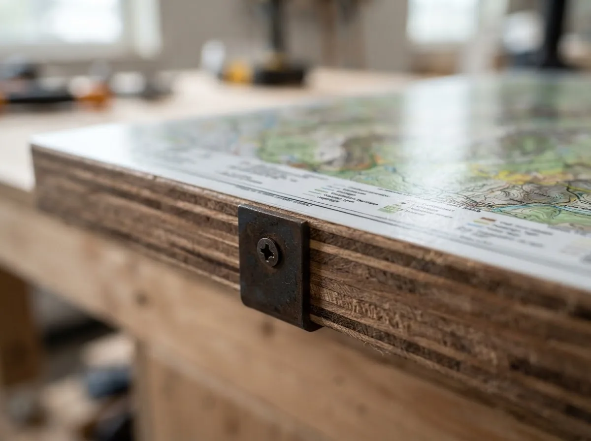
- MaterialsHeavyweight Laminated Vinyl + Geospatial Data Layer
- Warranty100% CAD Compliance Acceptance
Built in Texas. Turnkey field delivery and installation available statewide.
Overview
PWD 885-W7000 requires a property map showing boundaries, habitat types and the location of every management practice. A hand-drawn sketch is technically acceptable, but a surveyed aerial map with mapped habitat polygons is what turns a plan from a statement of intent into a document an appraisal district can verify against the ground.
Prepared by certified GIS analysts utilizing latest satellite orthoimagery and LiDAR elevation profiles. Identifies management zones, feeder points, water troughs, and boundary fence lines.
How this counts toward your 1-d-1 wildlife valuation
Mapping and signage are the infrastructure behind a wildlife management plan rather than an activity in their own right. A current property map is a required component of the PWD 885-W7000 plan document, and accurate mapping is what makes Habitat Control and Making Census Counts defensible instead of anecdotal.
This item supports:
- Habitat Control
- Making Census Counts
- Erosion Control
Texas requires at least three of the seven qualifying wildlife management activities. Highlighted below are the ones this product contributes to:
- Habitat Control
- Erosion Control
- Predator Control
- Providing Supplemental Supplies of Water
- Providing Supplemental Supplies of Food
- Providing Shelters
- Making Census Counts
Qualification is determined by your county Central Appraisal District, and intensity standards vary by ecoregion and property size. Nothing here is tax or legal advice. Confirm your specific activity mix with a certified wildlife biologist before filing.
How mapping supports the plan
- PWD 885-W7000 requires a property map showing boundaries, habitat types and the location of each management practice. A hand-drawn sketch is accepted but a surveyed aerial map is materially harder to question.
- Mapped habitat types let you write specific, defensible habitat control targets instead of general statements of intent.
- Plotting every feeder, guzzler and nest box on one map turns a folder of receipts into a coherent management programme.
- Fixed, mapped survey routes and count stations make year-over-year census data comparable, which is what gives census counts evidential weight.
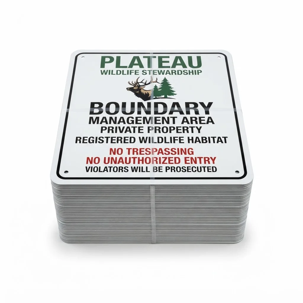
- Signed boundaries reduce trespass and document active stewardship of the tract.
Keeping the record current
Update the map whenever a practice is added or moved, and re-issue it with each annual report. An appraisal district reviewing a five-year plan wants to see the map evolve alongside the work actually performed on the ground.
File the current map with each annual report. It is the document that ties every other receipt, photograph and count sheet to a specific place on the property.
Full specifications
| Price | $350 |
|---|---|
| Dimensions | 24" × 36" Arch D (Laminated & Digital Georeferenced PDF) |
| Materials | Heavyweight Laminated Vinyl + Geospatial Data Layer |
| Category | GIS & Signage |
| Qualifying activity | Central Appraisal District Filing Documentation |
| Warranty | 100% CAD Compliance Acceptance |
Common questions
Is a property map required for a Texas wildlife management plan?
Yes. The PWD 885-W7000 plan document requires a map showing property boundaries, habitat types and the locations of your management practices. It is one of the few hard documentary requirements in the application.
What should the map show?
Boundaries and acreage, habitat and vegetation types, water features, and the plotted location of every nest box, feeder, guzzler and survey route. Mapped habitat types are what let you write specific, measurable habitat control targets rather than vague ones.
How often should the map be updated?
Whenever a practice is added, moved or removed, and re-issued with each annual report. A map that visibly evolves across a five-year plan is strong evidence that the plan is being executed rather than filed and forgotten.
Pairs well with
Need the plan, not just the gear?
Plateau Products supplies the equipment. Wildlife management plans, appraisal district filings and biologist consultations are handled by our sister company, Plateau Land & Wildlife Management, which has filed thousands of Texas wildlife management plans since 1997. Request an assessment and we will route you to the right team.